Capture accurately.
Deliver intelligently.
Build reliable spatial datasets that help teams understand, coordinate, preserve and improve existing assets.

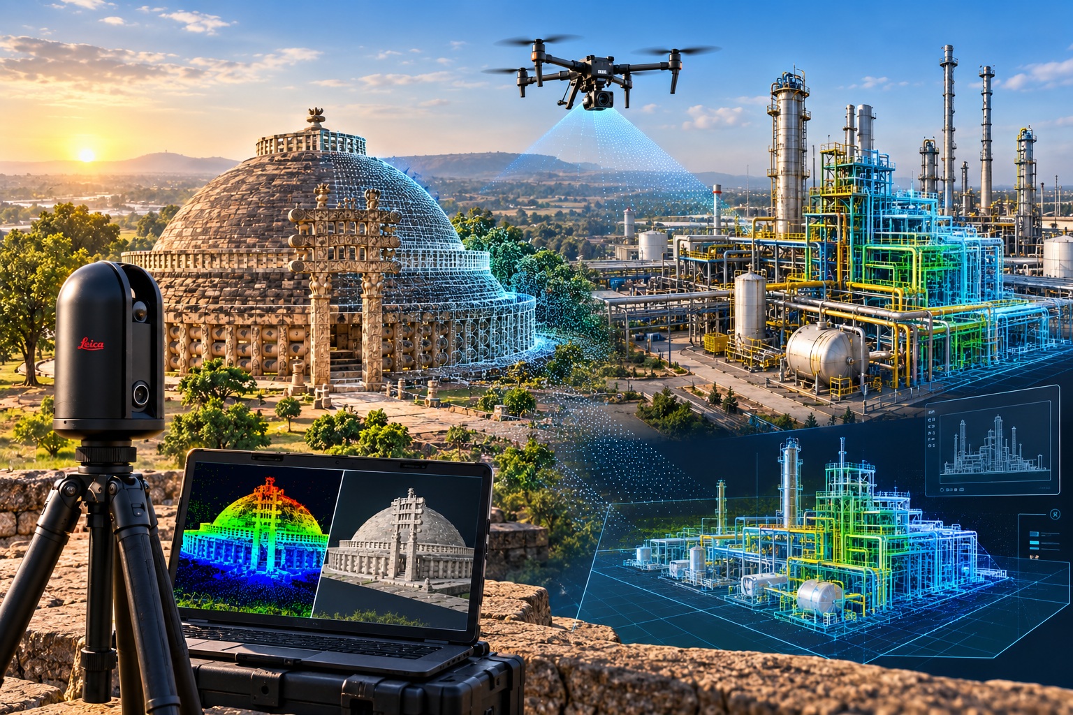
Advanced 3D LiDAR Scanning, Drone Surveying, Heritage Documentation and Scan-to-BIM solutions for complex assets and environments.
CORE SERVICES
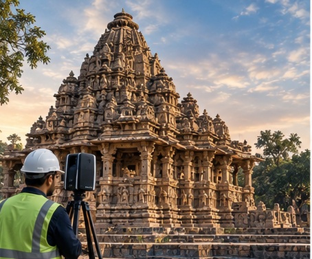
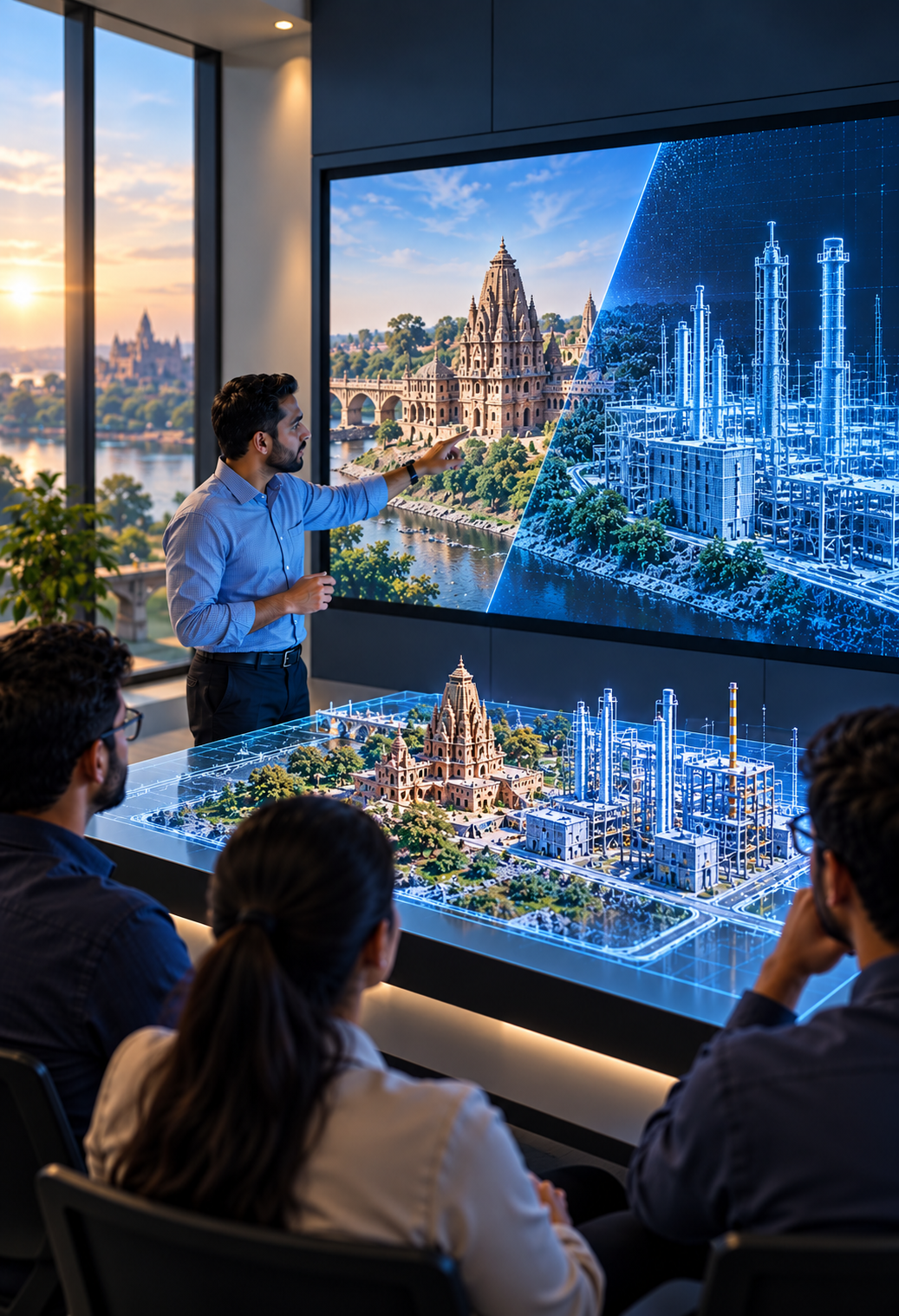
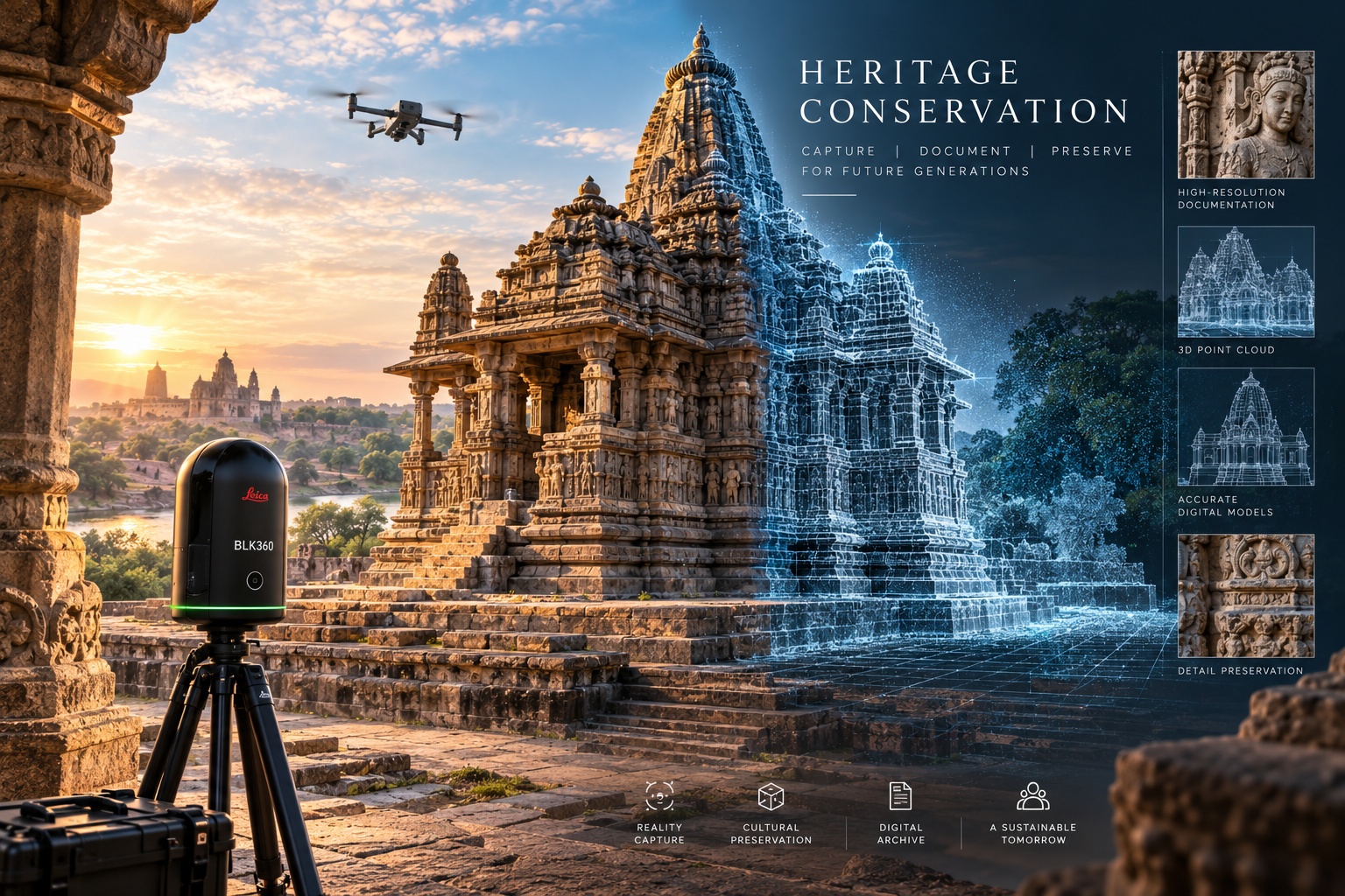
3D documentation and digital preservation of historic structures, monuments and archaeological sites.
Explore Service →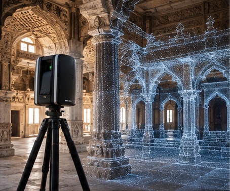
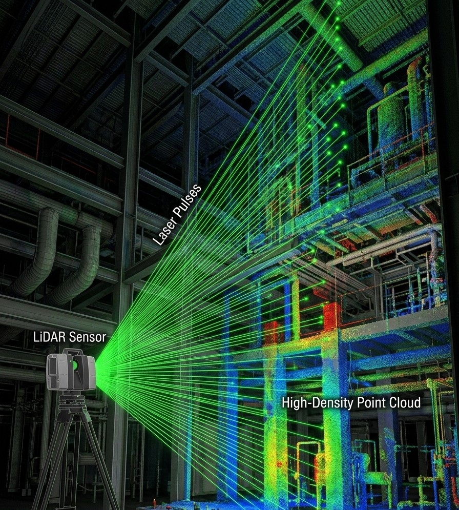
High-accuracy reality capture for architectural, industrial and infrastructure environments.
Explore Service →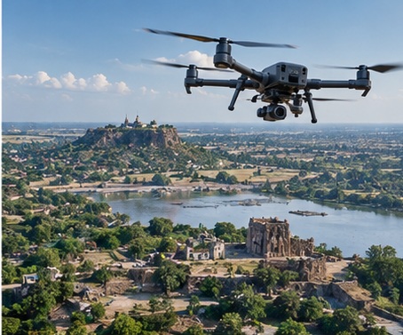
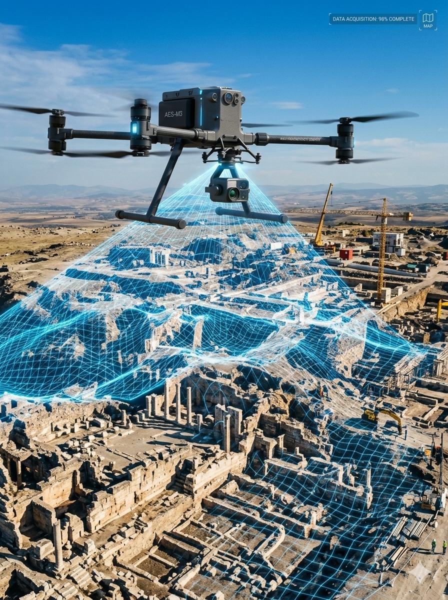
Aerial mapping, photogrammetry, orthomosaics, topographic surveys and large-area documentation.
Explore Service →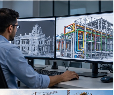
Conversion of point clouds and reality-capture data into accurate BIM models for design and asset management.
Explore Service →
Engineering accuracy
with a conservation mindset.
Praman Engineering Services provides advanced 3D LiDAR scanning and Scan-to-BIM solutions for architecture, engineering, construction, infrastructure and heritage environments.
We combine terrestrial LiDAR and drone survey methods to capture the physical world, then turn verified spatial data into practical drawings, models, documentation and digital assets.
Build reliable spatial datasets that help teams understand, coordinate, preserve and improve existing assets.
Connect real-world conditions with engineering decisions, conservation needs and long-term digital records.
Reliable data you can measure from.

Smarter tools for better outcomes.

Checked. Verified. Trusted.
Your goals drive our work.
On time. Without compromise.

Your data stays protected.

Digital solutions for a better tomorrow.
A complete reality-capture and digital-delivery portfolio — from heritage documentation to industrial engineering models.
 01
Non-contact spatial documentation for historic structures, monuments and archaeological sites.
 02
High-density terrestrial point clouds for buildings, plants, structures and complex environments.
 03
Aerial mapping, photogrammetry, orthophotos and large-area topographic documentation.
 04
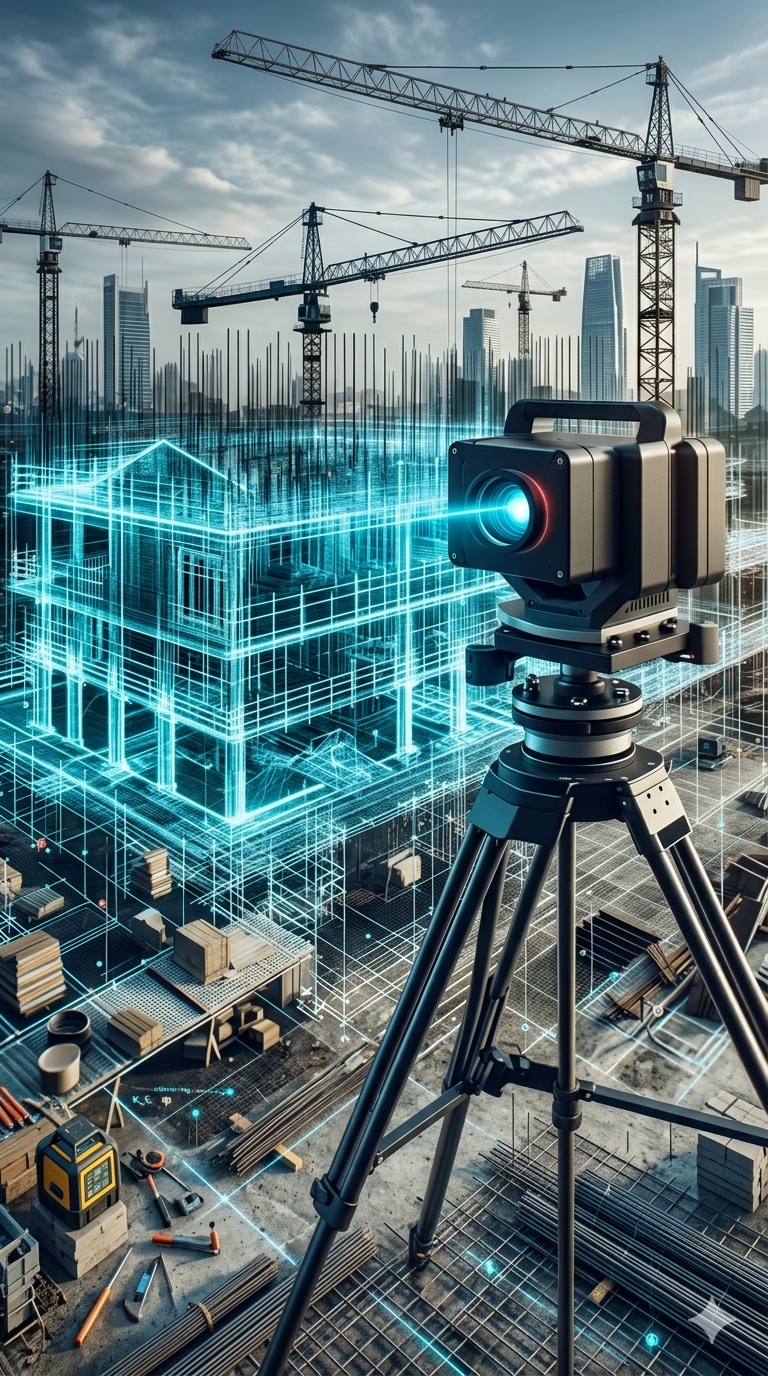
Transform registered point clouds into accurate, intelligent BIM models for coordination and asset management.
 05
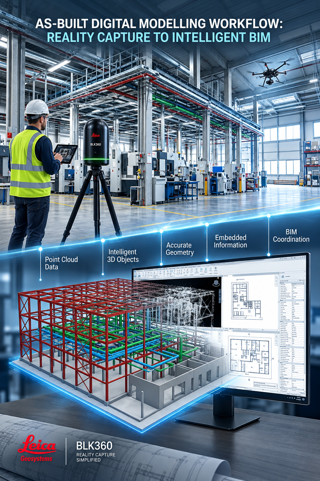
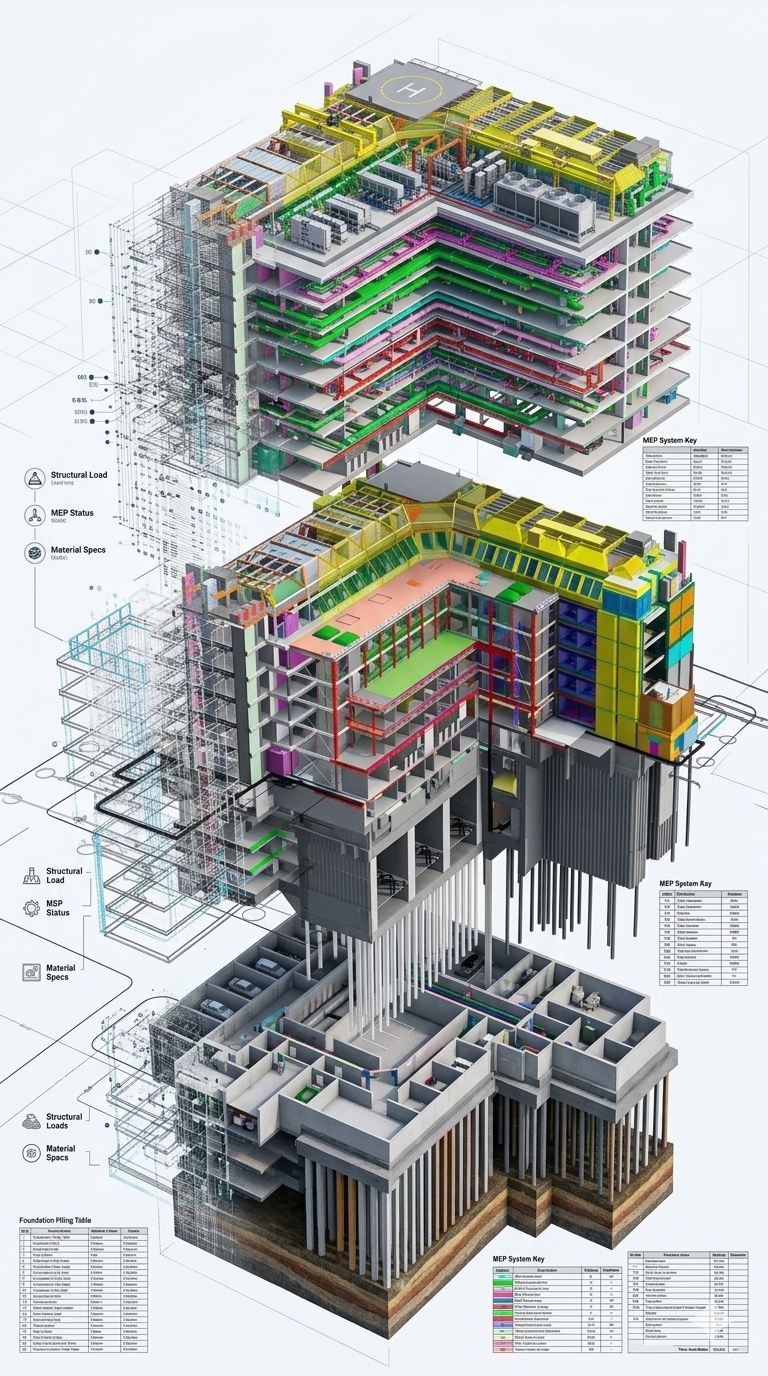
Capture as-built geometry and convert dense point clouds into structured 3D BIM and MEP models.
 06
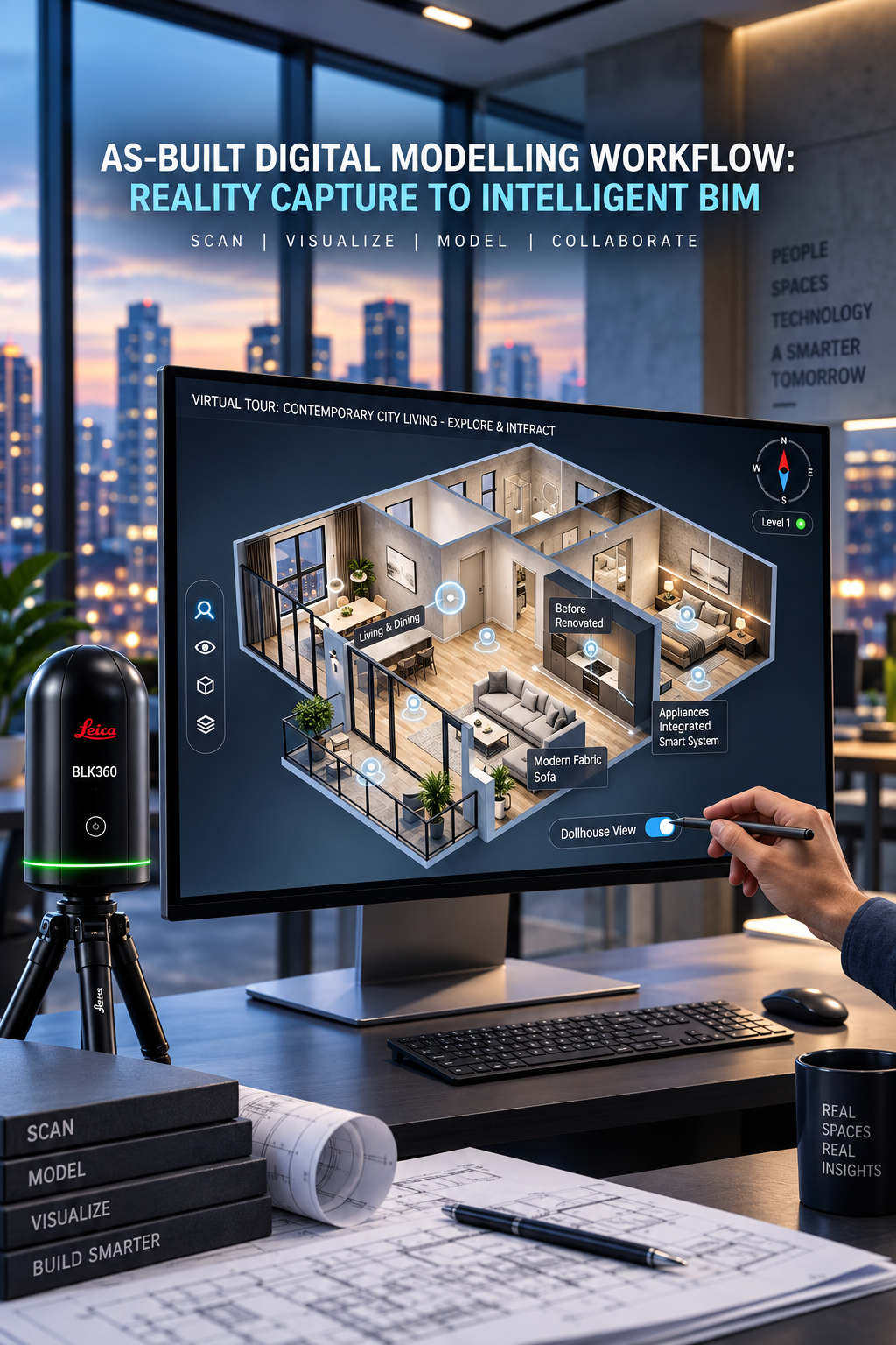
Immersive LiDAR and 360° digital environments for remote walkthroughs, inspection and stakeholder review.
 07
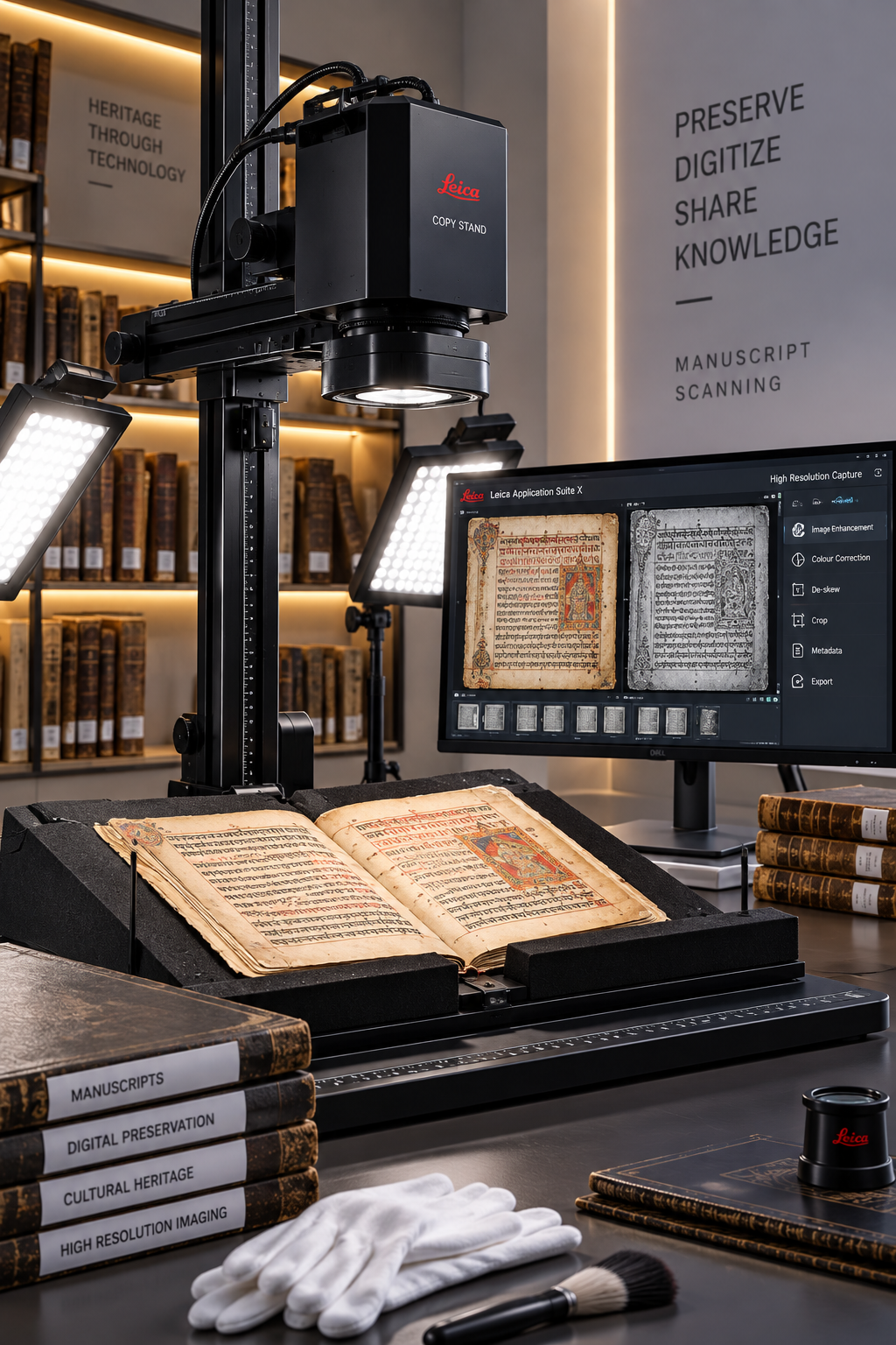
Non-contact high-resolution capture of fragile manuscripts, scripts, illustrations and material details.
 08
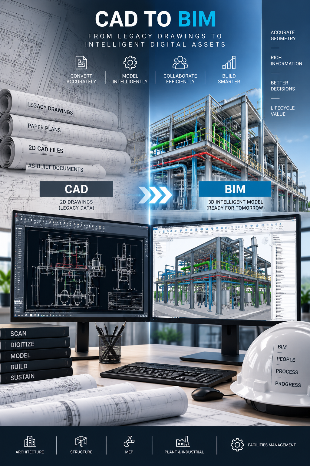
Convert 2D CAD drawings into accurate, intelligent 3D BIM models for coordinated project delivery.
 09
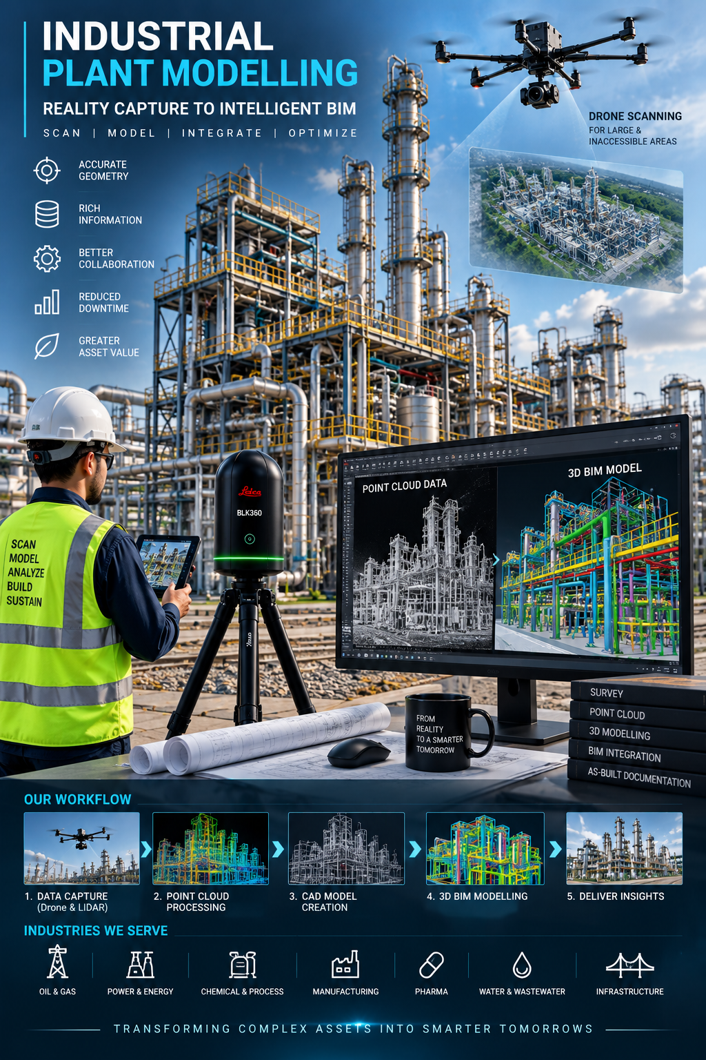
Verified digital representations of equipment, piping, structures and layouts for plant engineering.
 10
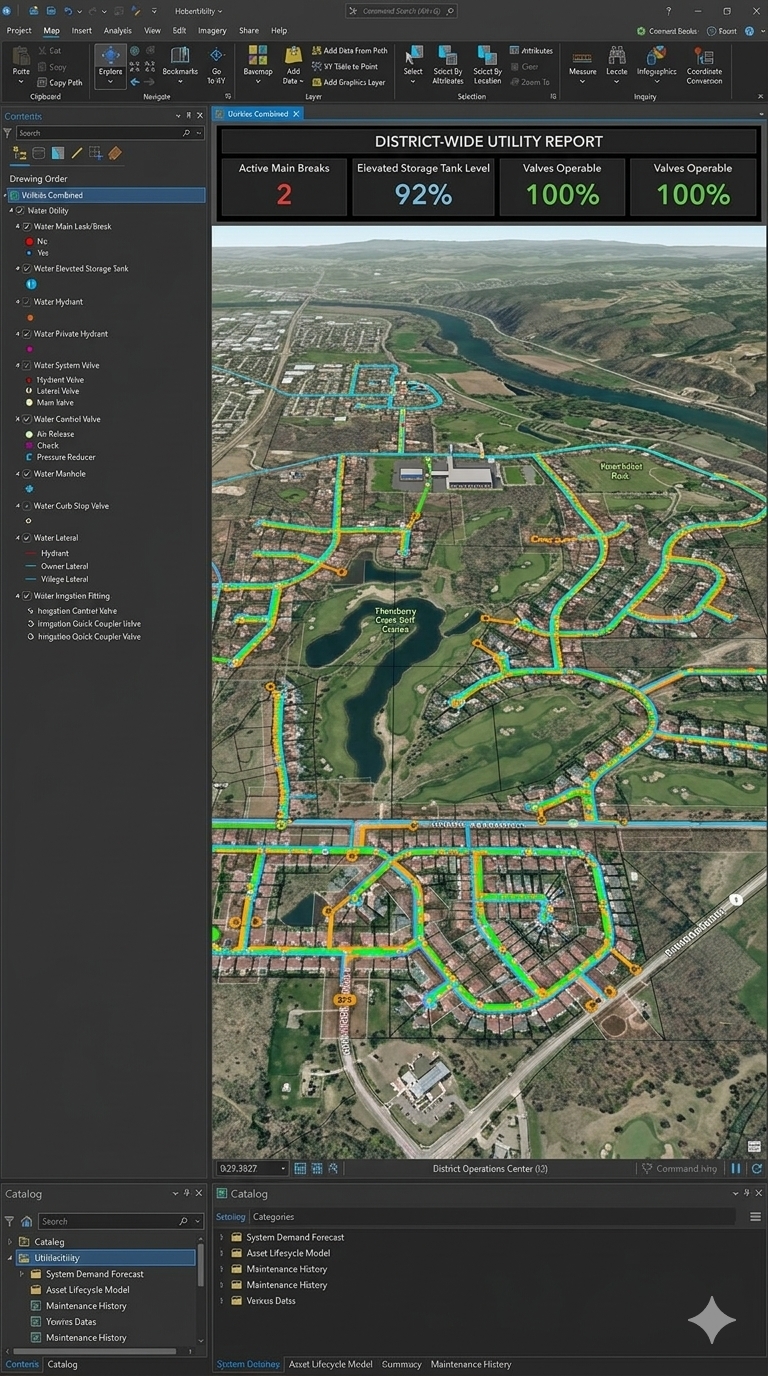
Layered spatial and attribute records for utilities, land use, infrastructure and environmental planning.
 11
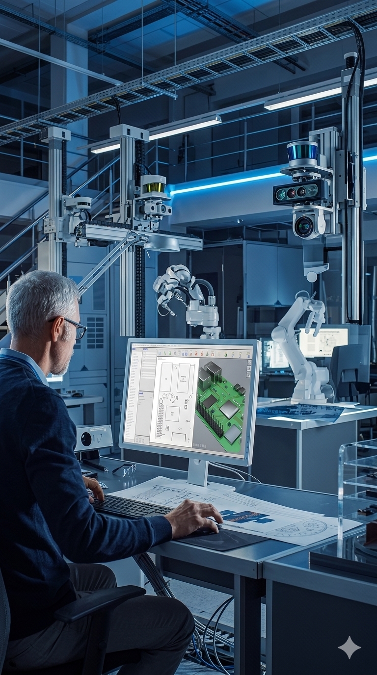
BIM models from laser scans or design inputs, delivered at the agreed Level of Development.
 12
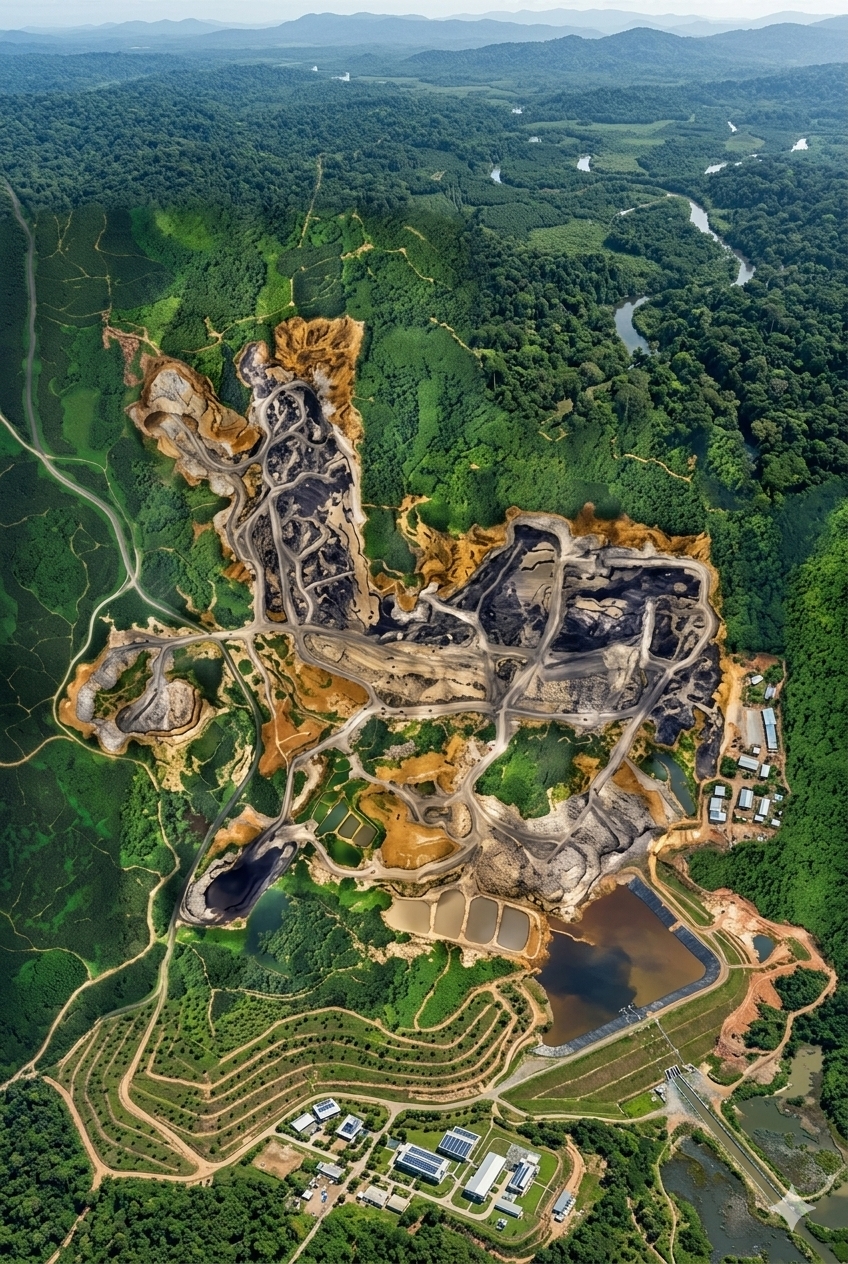
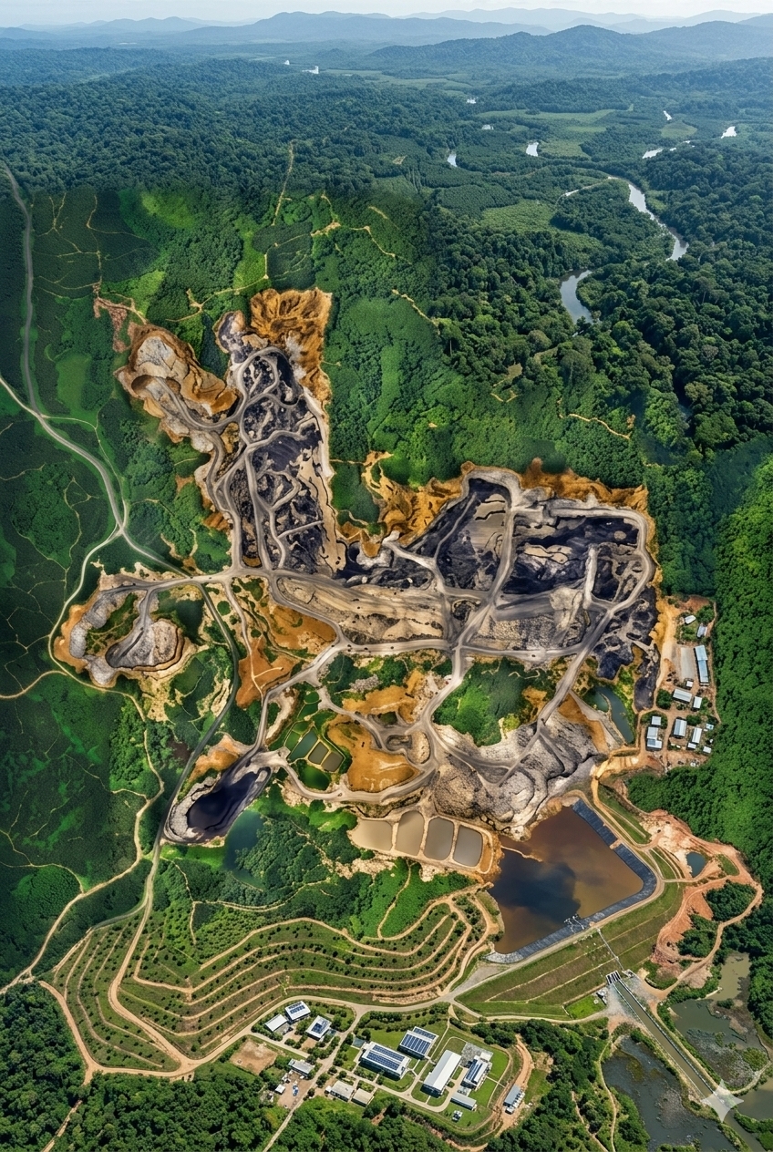
Geometrically corrected aerial imagery placed in real-world coordinates for mapping and planning.
 13
Precise plans, elevations, sections and 3D technical files from scans, sketches and design intent.
 14
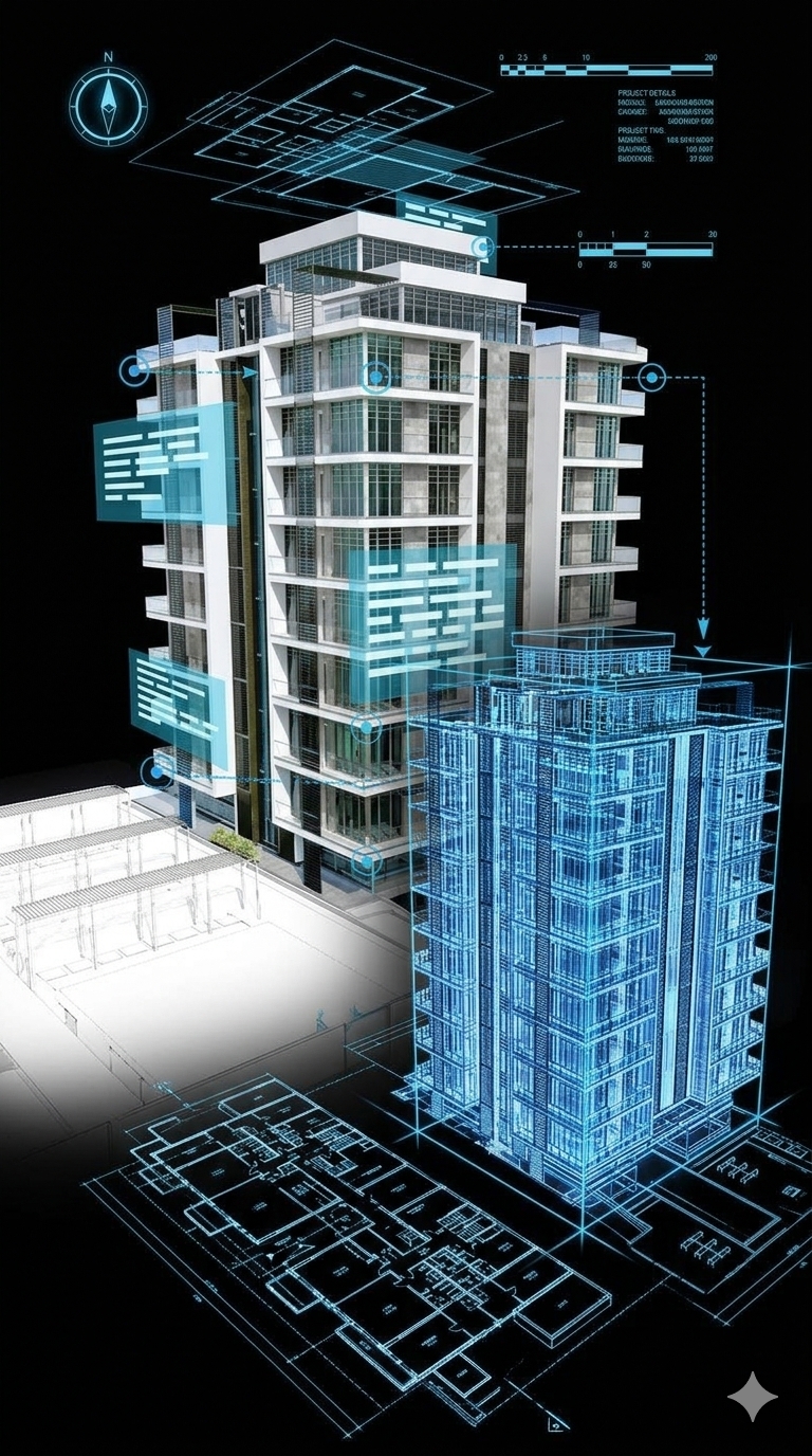
Virtual representations of buildings, plants and infrastructure linked to operational information.
Our workflow connects field capture, spatial processing, intelligent modelling and engineering-ready delivery.
LiDAR scanning, drone survey, photogrammetry and high-resolution imaging.
Point-cloud registration, cleaning, georeferencing and quality control.
CAD, BIM, 3D mesh and intelligent digital models from verified spatial data.
As-built documentation, digital twins, engineering drawings and heritage records.
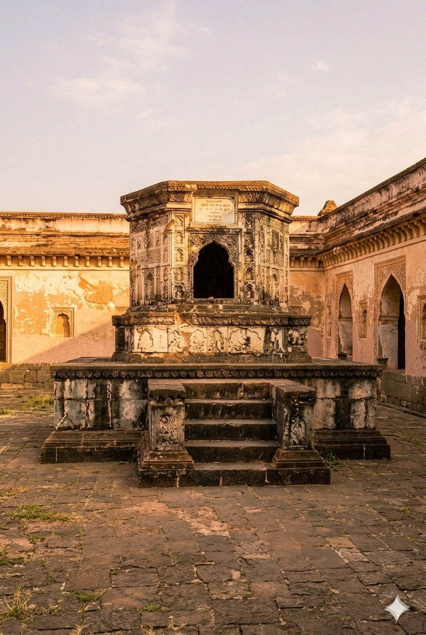
Document historic structures with non-contact capture and create reliable spatial records for conservation, restoration, condition assessment and long-term digital preservation.
Use verified spatial data to understand equipment, piping, structures and layouts before modification, coordination or execution.
Selected heritage projects are presented as case studies. Industrial and BIM capability is shown separately without inventing project claims.
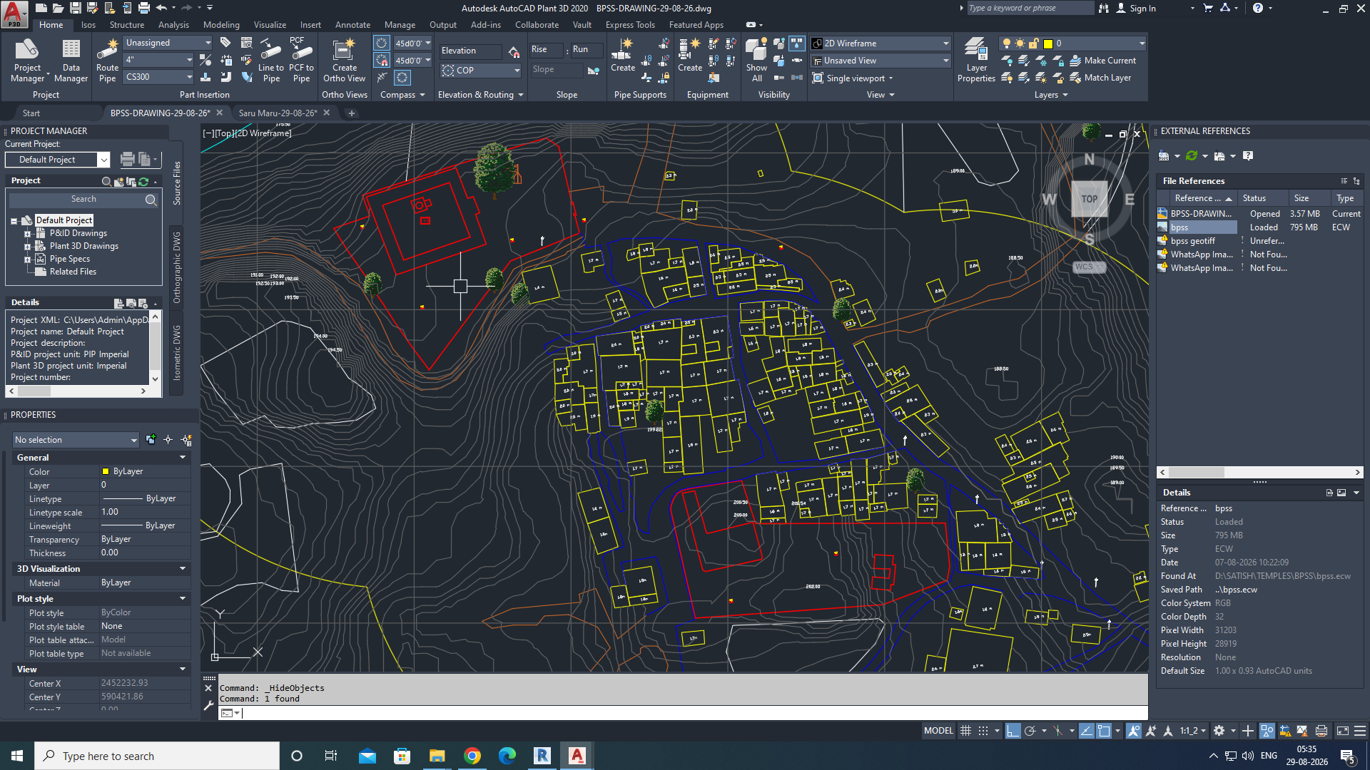 HERITAGE PROJECT
Leica BLK360 + Drone Survey + 3D Modelling
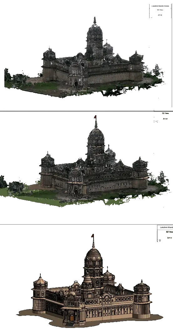
Terrestrial LiDAR documentation of the historic temple complex.
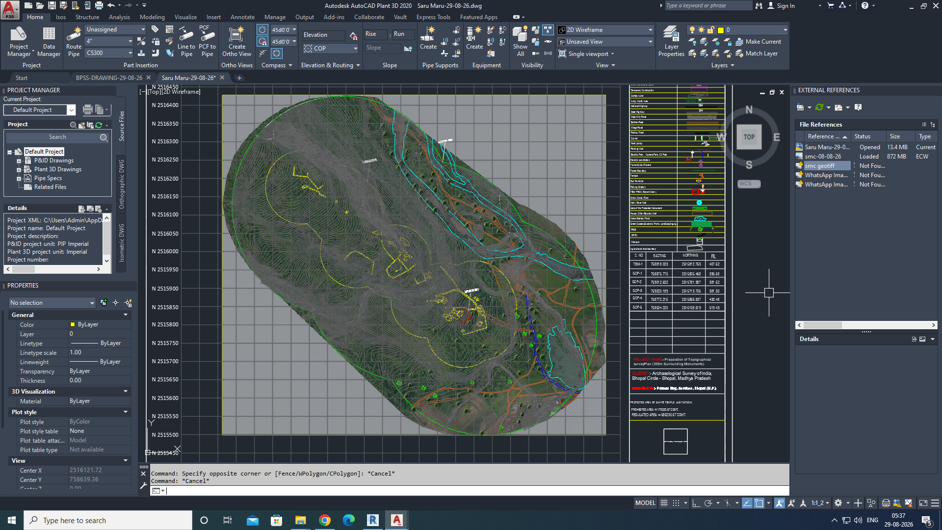
LiDAR and UAV survey of an ancient Buddhist monastic complex.
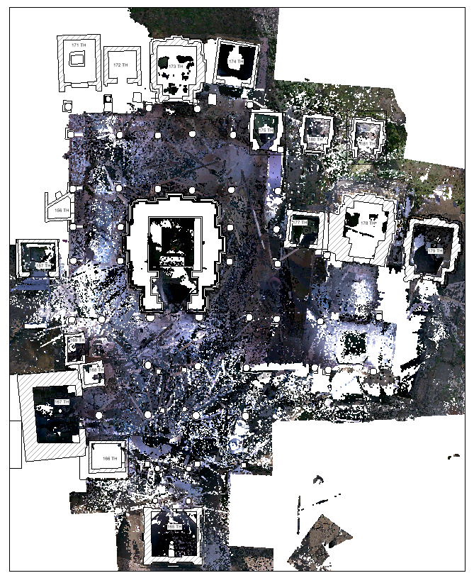
Terrestrial LiDAR capture of a remarkable group of sandstone shrines.
Equipment, piping, structures and layouts can be coordinated from verified spatial data.
Explore Capability →Point clouds can be transformed into structured BIM models for design coordination and asset management.
Explore Capability →Reality capture becomes valuable when the same verified data can support conservation, engineering, construction, planning and operations.
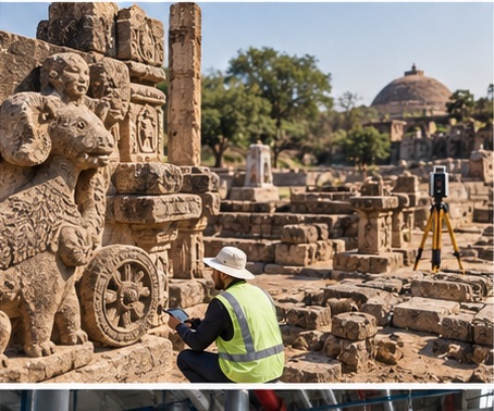
Monuments · Temples · Forts · Archaeological Sites
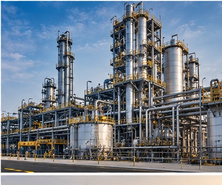
Manufacturing · Process Plants · Power · Oil & Gas
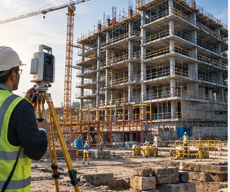
Buildings · Infrastructure · Renovation · As-Built Documentation
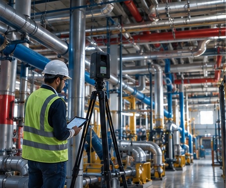
Plant Engineering · Structural · MEP · BIM
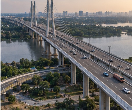
Roads · Bridges · Utilities · Large Sites
Our value is not a single instrument. It is the discipline that connects accurate capture to the decisions, models and records your project needs.
Accurate spatial data for confident engineering decisions.
Advanced terrestrial LiDAR, drone surveying and digital modelling.
Reliable data, transparent processes and professional execution.
Technology that documents, protects and extends the life of valuable assets.
Tell us about the monument, campus, landscape, building or industrial asset you need documented.